

Let's map out your needs...
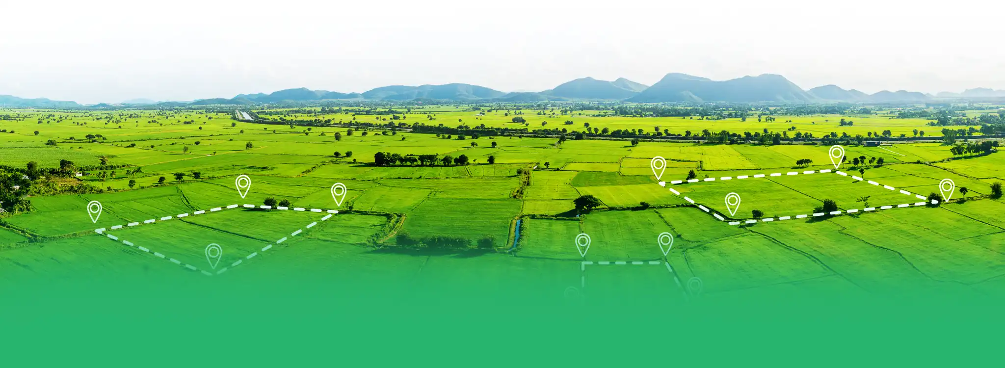
We bring digital transformation to a thriving life by leveraging GIS Intelligence, leading us to develop real-time insights and thus, faster and data-driven decisions.
Scalable GIS solutions enabling precision, deep insights, and smart infrastructure for future-driven industries.
5M +
POIs
250 +
Cities & Towns Surveyed
1M +
Properties GeoTagged
9M +
Sq. Ft BIM Conversions
500,000+
Km. Highways
Mapped
Services That Empower Smarter Planning & Real-Time Decision-Making
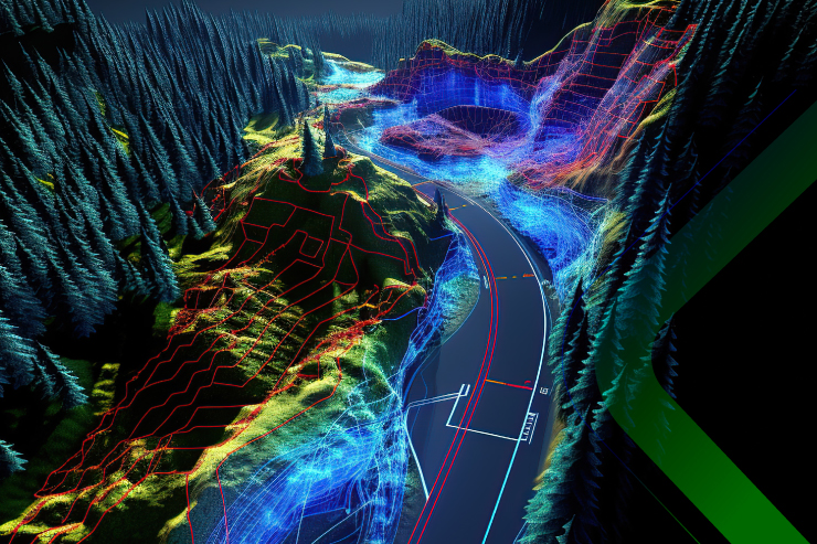
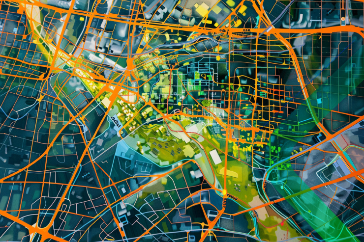
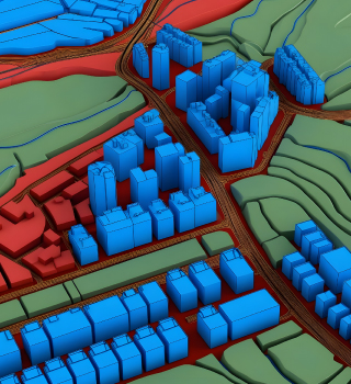
Our GIS capabilities are designed to deliver high accuracy, seamless integration, and operational efficiency across every sector we serve. Explore our end-to-end geospatial solutions—from high precision mapping and field assessments to intuitive dashboards and AI-powered insights.


How Mapex Differentiates Itself
GIS First & Ai-Driven Insights

End-to-End Custom Solutions

Proven Government & Enterprise Expertise

Cost-Effective, Secured & Scalable
Innovation-Driven, Ai-Powered Solutions

PGLAB
Smart GIS-Based Property and Tax Administration System
PGLAB is a powerful property and taxation solution that equips Urban Local Bodies with GIS-based tools to increase revenue, boost accountability, and improve citizen services. It provides a unified platform to capture, manage, and assess property data with high precision, helping local authorities make faster, data-backed decisions.

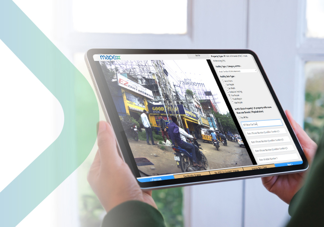
POI Collection Platform
Smart, Ai-Trained POI Identification and Collection
Our Ai-enabled POI solution delivers accurate object recognition and validation by leveraging machine learning trained on diverse datasets. Whether using vehicle-mounted systems or manual operations, Mapex offers scalable POI solutions.
Post Processing Platform
Efficient POI Data Cleansing and Standardization
Streamline your data accuracy and post-capture efficiency with our dedicated platform.
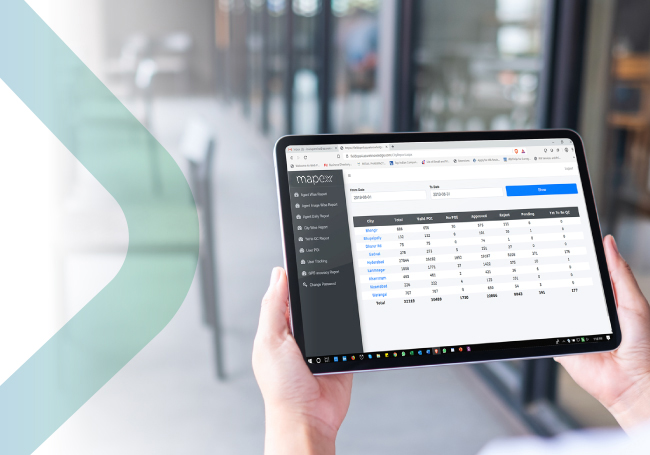
Mapexport
Automated Report Generation Platform
Mapexport automates the reporting lifecycle, reducing turnaround times from days to hours while ensuring accurate formatting and data integrity.
Accreditations & Certifications


Our latest blogs
Explore expert perspectives, project stories, and emerging trends in geospatial technology, Ai-powered mapping, 3D visualization, and spatial data innovation — all in one place.
View AllCalling all GIS pioneers, engineers and leaders to build India’s geospatial future together with Mapex.
Join Us